
Updates
on everything Geocodio
Geocodio Maps Update: 120th Congressional Districts, 2025 Census Boundaries, UK and Mexico Boundaries
New: Overlay 120th Congressional districts, 2025 Census geographies, UK electoral boundaries, and Mexico municipalities.
We’ve added several new boundary layers as well as made a few small updates to Geocodio Maps.
New Boundary Layers
If you need to show legislators the impact of policies on people within their districts, map loan applications by Census tract, or see which municipalities your customers are in, click “Create Map” the next time you geocode a spreadsheet. A map is included for free whenever you geocode a spreadsheet and you can have up to 100,000 points on each map.
You’ll be able to visualize these new layers and more:
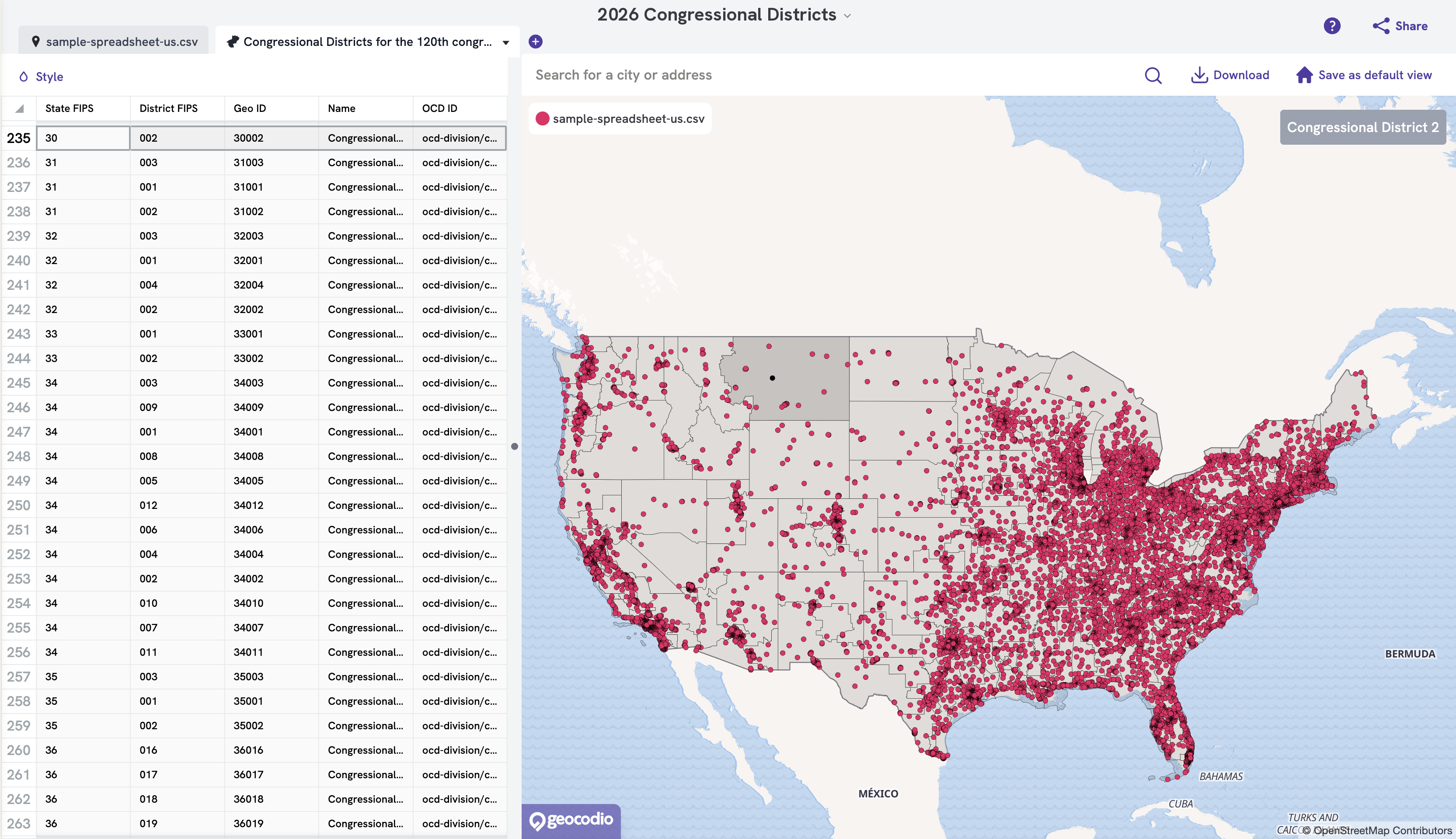
120th Congressional districts, including states with 2025-2026 redistricting (California, Florida, Missouri, North Caroline, Ohio, Texas, and Utah). Congressional districts back to 2013 or 113th Congressional Congress can be overlaid.
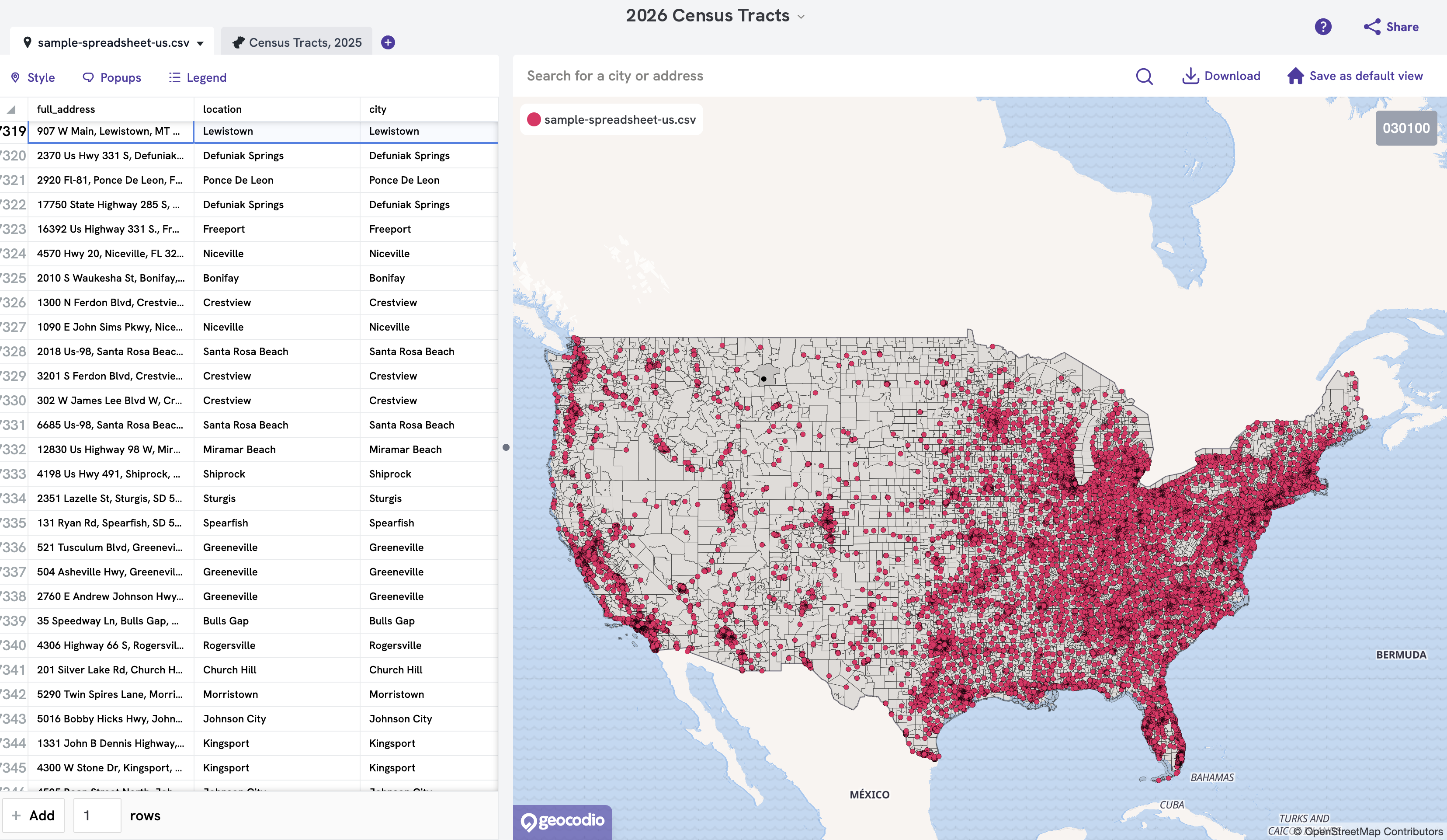
2025 Census geographies: Census tracts back to 2000 are available as overlays, and now, 2025 geographies are as well. You can overlay Census tracts, places, county subdivisions, combined and metropolitan statistical areas, metropolitan divisions, Public Use Microdata Areas (PUMAs), and urban areas.
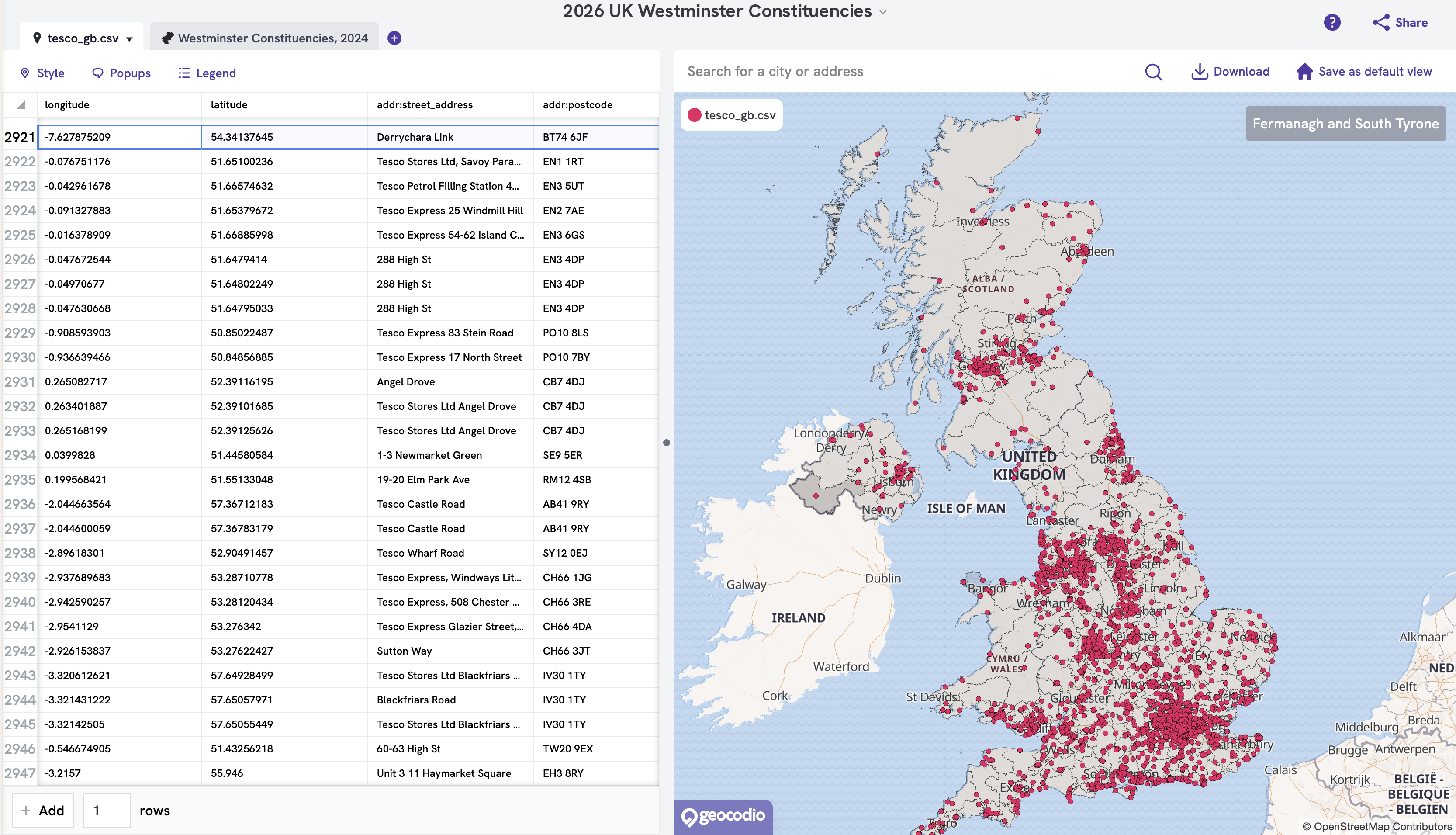
UK electoral boundaries: Westminster constituencies, devolved parliament constituencies (Scottish Parliament, Senedd, and Northern Ireland Assembly), electoral wards, and county electoral divisions
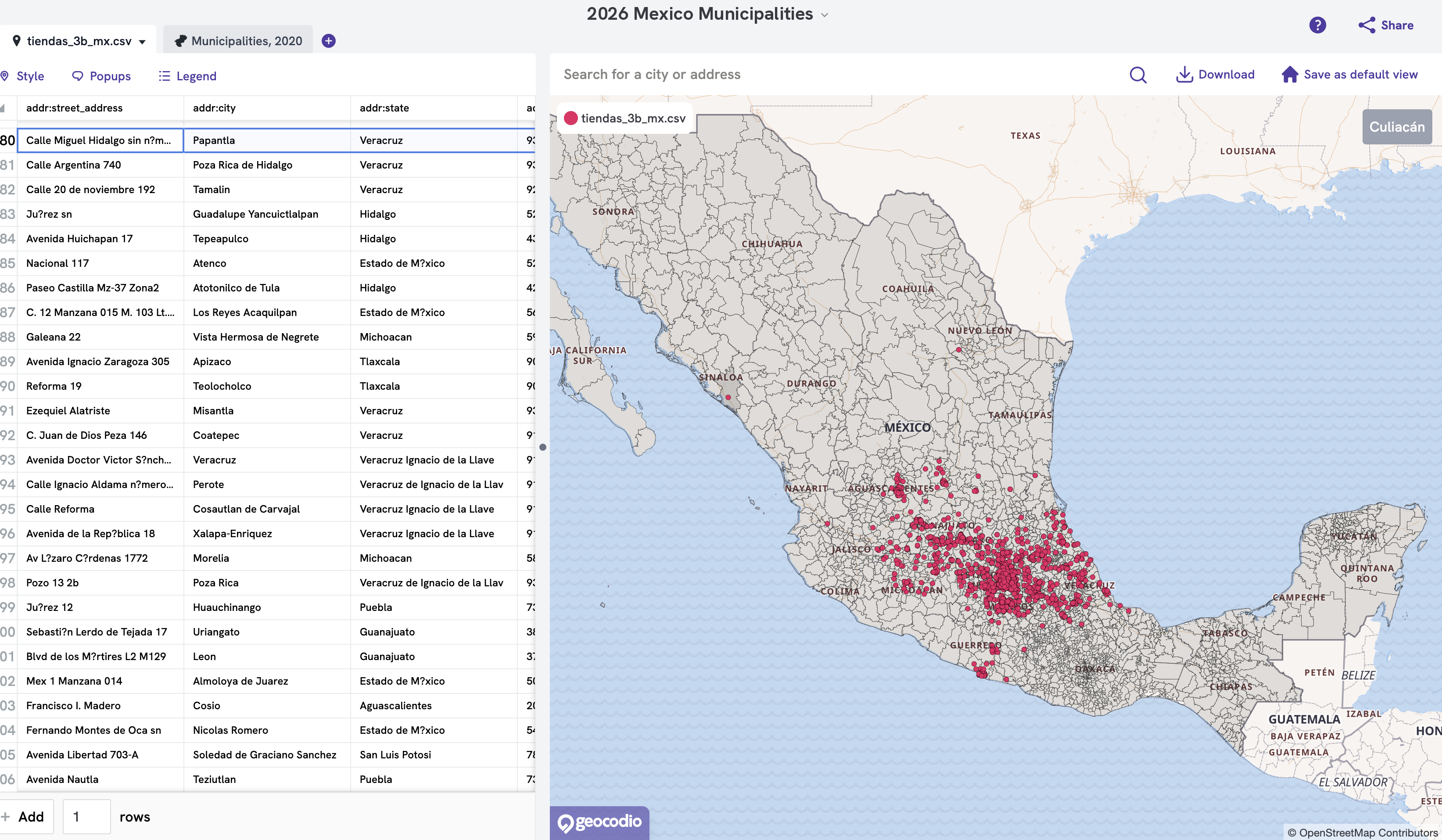
Mexico municipalities (municipios)
Adding boundaries
You can find all of these in the boundary picker when you add a boundary layer to a map. Each layer displays which country it applies to, and you can use the country filter to narrow your options.
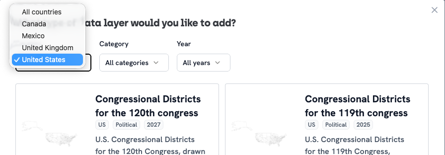
Note: if you want the underlying data, such as which ward someone lives in or what their metropolitan area is, you’ll need to check the corresponding box when uploading a spreadsheet. The map will overlay the layers, yet it won’t change the underlying spreadsheet.
Try the new Maps layers: Self-Serve | Enterprise
We also fixed a few bugs
While we were updating the districts, we found a few issues that we’ve fixed. We apologize for any frustration these issues may have caused.
Hover and Click Work Again
Hovering over a boundary highlights it, and clicking a boundary selects its matching rows in your spreadsheet.
State Legislative Districts No Longer Overlap
As anyone who works with district data can tell you, it’s been a busy year for redistricting. (We feel this ourselves, since we independently track redistricting.) Our maps were feeling the strain and for a few states, the old districts were shown simultaneously with the new districts. We’ve now fixed this, and now show only the map currently in effect for each state.
A note on older saved projects:
If a saved project uses the 2023 Census layers or the 2024 state legislative layers, it will keep working, but hover highlighting isn’t available on those layers. You’ll need to choose one of the current layers instead to use that feature.
Questions?
If you need help creating a Geocodio map or have a suggestion of a new boundary, let us know anytime at [email protected].
Related Resources
What is Geocodio Maps
See the addresses or coordinates in your spreadsheets as markers on a map, right from your account dashboard.
Add a Layer to a Map
Add layers to your map to outline the borders of specific regions, like census tracts or congressional districts.
Don't miss what's new
Geocodio ships new features and data updates regularly. We'll only email you with the good stuff, nothing else.
Thanks for subscribing! Check your inbox to confirm.