 January 05, 2022
Introducing the Lists API
We've added a new way to geocode lists through our API.
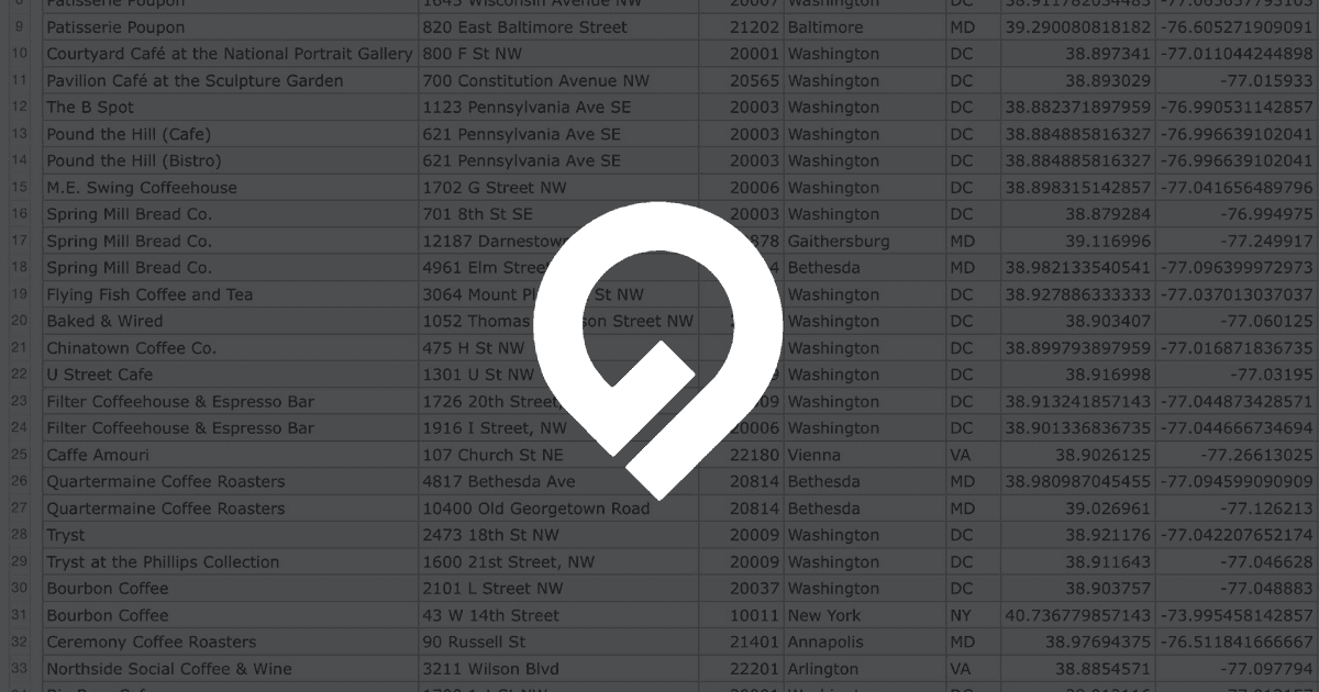
The new lists API lets you process spreadsheets up to 1GB in size via API. Similar to the spreadsheet feature in the dashboard, the spreadsheet will be processed as a job on Geocodio's infrastructure and can be downloaded at a later time via API.
CSV, TSV, XLS, and XLSX spreadsheets can be geocoded via API.
While a spreadsheet is being processed, it is possible to query the status and progress.
Data for spreadsheets processed through the lists API are automatically deleted 72 hours after they have finished processing.
Lists API vs batch vs single -- which to use?
Single and batch geocoding methods are synchronous, meaning that you have to wait for the data to be fully processed and will receive it directly in your API response. The list geocoding method, however, is asynchronous and requires a second request to be made to download the data once it is ready.
| Name | Batch size | Type | Format | Supports fields | Supports forward & reverse geocoding |
|---|---|---|---|---|---|
| Single geocoding | 1 | Synchronous | JSON | yes | yes |
| Batch geocoding | Up to 10,000 per batch | Synchronous | JSON | yes | yes |
| List geocoding | Up to 10,000,000+ | Asynchronous | CSV/TSV/Excel | yes | yes |
Pricing
Pricing is the same for the lists API as other API endpoints. You will be charged on a per-lookup basis.To use the lists API, you must have a valid payment method on file, even if your list is below the daily free tier.