
Guides
for everything Geocodio
Guides
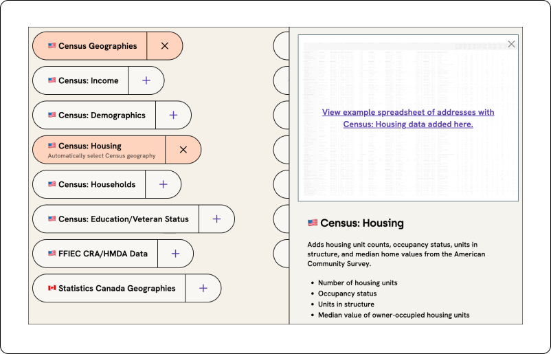
Census: Housing
Guides
for everything Geocodio
Census: Housing
Geocodio enables you to match addresses or coordinates to data from the Census Bureau's American Community Survey on housing statistics. This data is available via API as well as spreadsheet upload. If you're uploading a spreadsheet, you can click the "Housing" append in Step 3 of the upload process to append this data.
Geocodio's data is from the most recent five-year American Community Survey, which is currently the 2024 survey results published in 2026. (The 1-year American Community Surveys do not have granularity at this level.)
Selecting the geography level
With version 1.8 of the Geocodio API and the current version of the spreadsheet geocoding tool, Census housing data is automatically returned at the most appropriate geographic-level based on the accuracy of the geocoded result.
For example:
| Accuracy Type | Census Geography |
|---|---|
| rooftop, range_interpolation, nearest_street, point, nearest_rooftop_match, street_center, intersection | Census Block Group |
| nearest_place, place | Census Place |
| county | County |
| state | State |
With Geocodio, you can also explicitly request Census household and family data for a specific geographic level through our API or through the spreadsheet geocoding tool. Data is available at the following geographies:
Block Group
Tract
Place
County Subdivision
County
MSA
State
Via API, you should add the geography name to your ACS field request. For example:
acs-housing-tract(for Census Tract level)acs-housing-county(for County level)acs-housing-place(for Census Place level)
When using our spreadsheet geocoding tool, you can choose which geographic level you'd like to receive data for by using the dropdown menu that appears after selecting the ACS Housing data append.
Please note: We do not provide data at the individual household level.
If you are using an API version prior to v1.8, all results return at the Census Block Group level.
Download an example
You can download an example of the results when you add Census housing data to a spreadsheet of addresses here or to coordinates here.
Housing Data Returned
We provide the data exactly as it is packaged by the Census Bureau in the breakouts it gives. The only change we have made is to add a "percentage" calculation to aid ease of use.
For each data point, we return the value, margin of error, and percentage.
Data points returned are:
Occupancy status (Table #B25002)
occupied
vacant
Ownership of occupied units (Table #B25003)
owner-occupied
renter-occupied
Units in structure (Table #B25024)
1, detached unit; 1, attached unit; 2 units; 3 or 4 units; 5 to 9 units; 10 to 19 units; 20 to 49 units; 50 or more units; mobile home units; boat, RV, van, etc. units
Median value of owner-occupied housing units (Table #B25077)
Value of owner-occupied housing units (Table # B25075)
less than $10,000; $10,000-$14,999; $15,000-$19,999; $20,000-$29,000; $30,000-$34,999; $40,000-$49,999; $50,000-$59,000; $60,000-$69,999; $70,000-$79,000; $80,000-$89,999; $90,000-$99,999; $100,000-$124,999; $125,000-$149,000; $150,000-$174,999; $175,000-$199,999; $200,000-$249,000; $250,000-$299,000; $300,000-$399,999; $400,000-$499,000; $500,000-$749,000; $750,000-$999,999; $1,000,000-$1,499,999; $1,500,000-$1,999,999; $2,000,000 or more
Special ACS Values
There are a number of special values that may be returned when working with ACS data. Use the chart below to determine their meaning, which can assist with troubleshooting.
| Value | Definition |
|---|---|
| -888888888 | Estimate not applicable or not available |
| -999999999 | Insufficient sample cases in the geographic area |
| -222222222 | Margin of error couldn't be computed due to insufficient sample |
| -555555555 | Controlled estimate (no sampling error) |
Cost
Requests are billed as geocode + Census Housing info (i.e., two lookups). For example, if you have 100 addresses that you want ACS housing data for, that would count as 200 lookups.
You can calculate how much this will cost you and how long it will take here.